Category: Tools & Resources
Split Verdict Over State of the Estuary
Habitat restoration and pollution regulations are holding the Bay steady, but the Delta is losing some of its ecological diversity, says SF Estuary Partnership scorecard.
ReaderBoard
Once a month we share reader announcements: jobs, events, reports, and more.
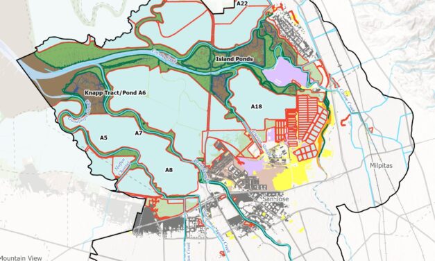
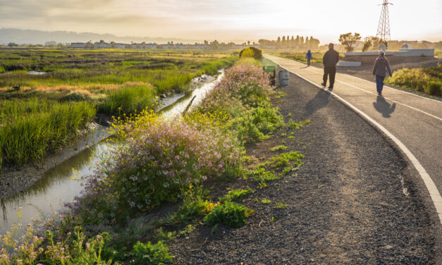
Nailing Down Opportunities for Nature-Based Infrastructure
A new tool from the Estuary Institute gives planners ideas for where best to work with nature around the Bay to protect shores from sea level rise.

All Stories
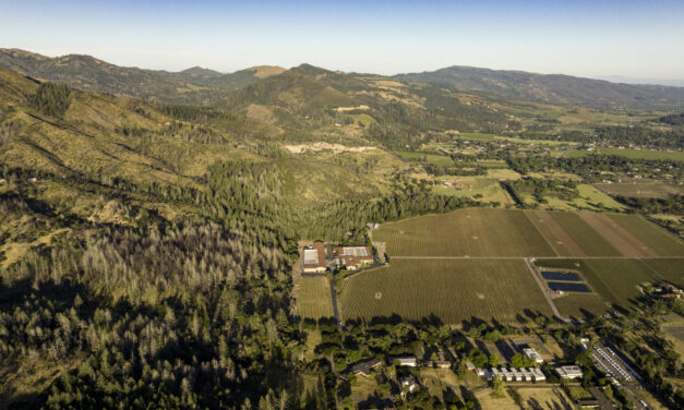
Weaving Fire Protection Out Of What’s Already There
A new Greenbelt Alliance report shows how existing vineyards, grasslands, and managed forests can slow wildfire and save vulnerable homes.
Split Verdict Over State of the Estuary
Habitat restoration and pollution regulations are holding the Bay steady, but the Delta is losing some of its ecological diversity, says SF Estuary Partnership scorecard.
ReaderBoard
Once a month we share reader announcements: jobs, events, reports, and more.
Nailing Down Opportunities for Nature-Based Infrastructure
A new tool from the Estuary Institute gives planners ideas for where best to work with nature around the Bay to protect shores from sea level rise.
Bumpy Road Ahead for Fast-Tracking Program?
The multi-agency BRRIT has streamlined wetland permitting, but ongoing federal cuts could slow its progress.
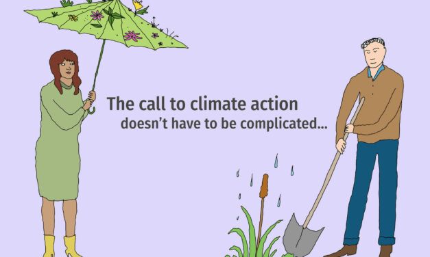
How To Explain Extreme Weather Without the Fear Factor
Fear-based messaging about extreme weather can backfire. Here are some simple metaphors to explain climate change.
UC Berkeley’s Brilliant Breakthrough in Carbon Capture
Researchers have developed COF-999, a new material that absorbs CO₂ directly from the air without rapidly degrading — a game-changer for carbon capture.
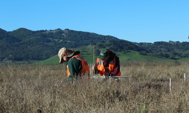
Collecting and Unifying Regional Metrics on Wetland Health
By standardizing and coordinating data collection, the Wetlands Regional Monitoring Program will supercharge new analyses of restoration projects.
Climate Adaptation: The Basics
Resilient sweet potatoes and stilts on houses remind us how adaptable human beings can be. This graphic guide samples our earliest and most recent history of adaptation.
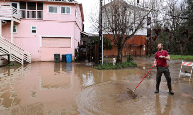
Wine Country County Counts for Half of California’s Repeat Home Flooding
We tested a free flood mapping tool. It revealed that Sonoma County homes get flooded more often than most.
Optimizing the Health Benefits of Urban Greens
A new practical guide called Ecology for Health will help planners and designers enhance both biodiversity and human health in urban settings.
Citizen Methane
Methane, a potent greenhouse gas, leaks from abandoned wells across the country. Curtis Shuck has been finding them by hand, well by well. But finding the leaks is where satellites and citizens come in.


