As an environmental science student and a nature photographer, I love spending time outdoors with my camera. In the fall of 2022, I photographed California’s drought, and I wanted to look further at water in the San Francisco Bay Area. I chose to explore the Coyote Creek Watershed in Santa Clara County for its extensive natural areas and Valley Water’s comprehensive plan for its protection and restoration. Watersheds are essentially areas of land through which all water from rain and snow drains to a discharge point, such as a bay or ocean, via creeks, streams and rivers. I am interested in watersheds because all land is part of a watershed, and yet each watershed is unique and complex: a variety of lakes, creeks, ponds, mountains, developments, highways, habitats, species, and social and environmental problems. All in the face of climate change — what I consider to be the greatest challenge facing our planet and communities.
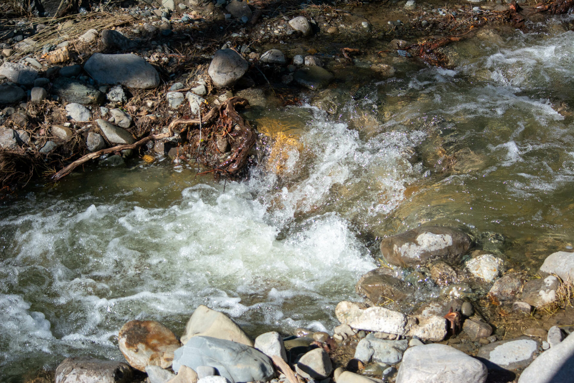
Coyote Creek Watershed begins in the Diablo Range mountains in the south, and the water ultimately flows north for 62 miles to South San Francisco Bay — through the hills and Coyote Valley to the baylands. To see Coyote Creek (above left), one of the principal waterways in the watershed, I hiked through the mountains of Henry W. Coe State Park, which protects much of the upper watershed. I encountered heavy rain, high winds, hail, and snow — atypical weather for March that is both contributing to lessening the severity of California’s drought and posing flooding concerns that will last until the snow melts. West of the Diablo Range mountains, near the entrance to Henry W. Coe State Park, lies Anderson Lake (above right), the largest reservoir in the watershed. The Anderson Dam greatly controls the flow of Coyote Creek in Coyote Valley. Anderson Lake, along with the other large reservoir in the watershed, Coyote Reservoir, stores runoff at this time of year which will be released to recharge groundwater in the summer and autumn.
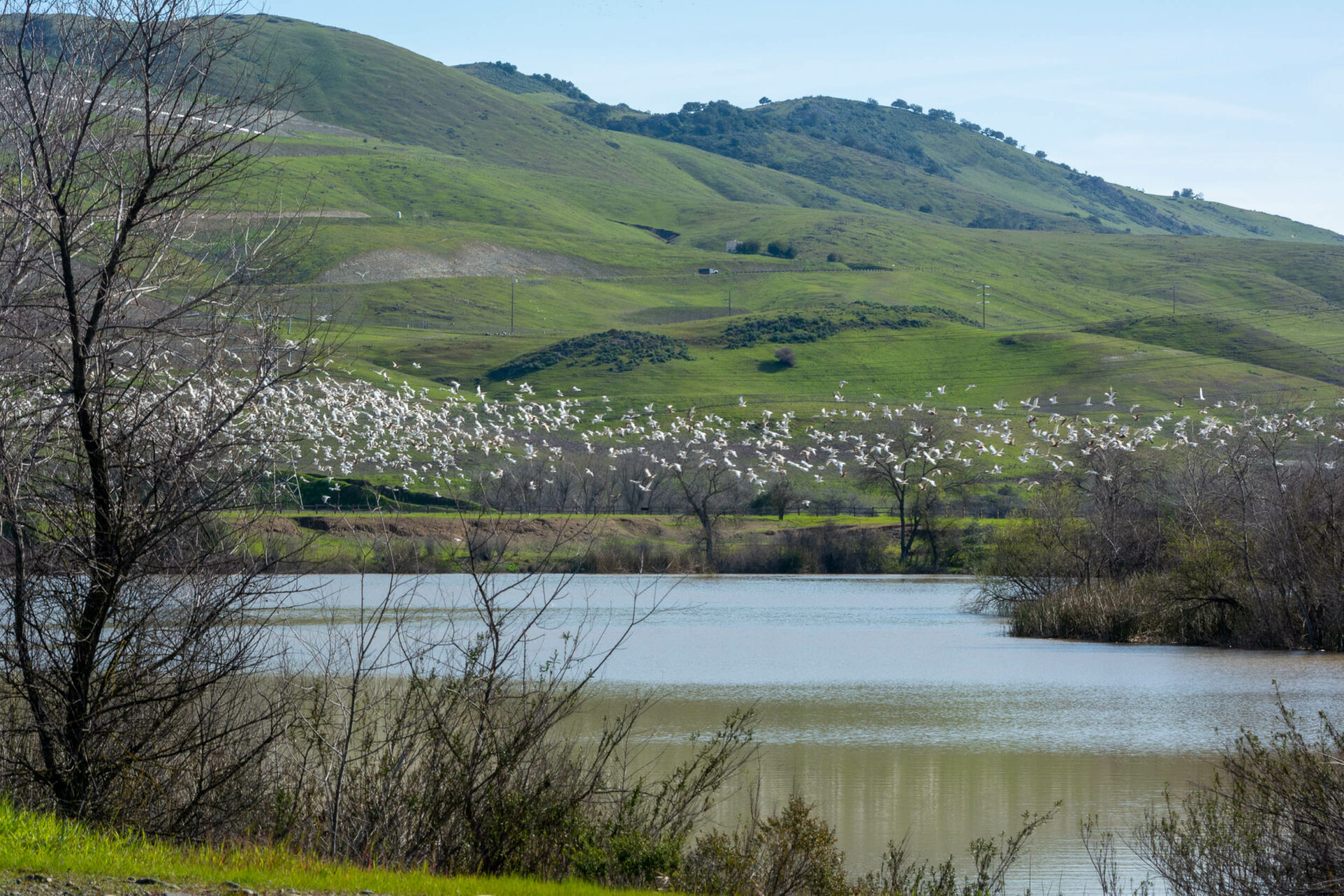
In Upper Coyote Valley in Morgan Hill, lie the Ogier Ponds (above). The ponds are old mining pits, now used for public recreation; they support a wide variety of habitats and wildlife. My friends and I visited the ponds in February, parking alongside a trailer park and walking cautiously through the unmarked entrance to the natural space — the only sign simply stated that dumping was prohibited. After walking along the path for a few minutes, we relaxed as we saw the ponds and eventually came across a park ranger who happily greeted us. As seen in this photo, the Ogier Ponds have lake-like conditions. According to Valley Water’s report, this poses threats to migrating fish who can become lost in the ponds. In addition, the ponds increase the temperature of Coyote Creek to unfavorable conditions for steelhead trout since the ponds warm more than the creek in the sun. One of Valley Water’s priority actions — which is currently in the planning stage — is to separate the ponds from Coyote Creek to “improve fish passage and water quality.” This area of the watershed faces increased fire threats, as seen with the SCU (Santa Clara Unit) Lightning Complex Fire in 2020.
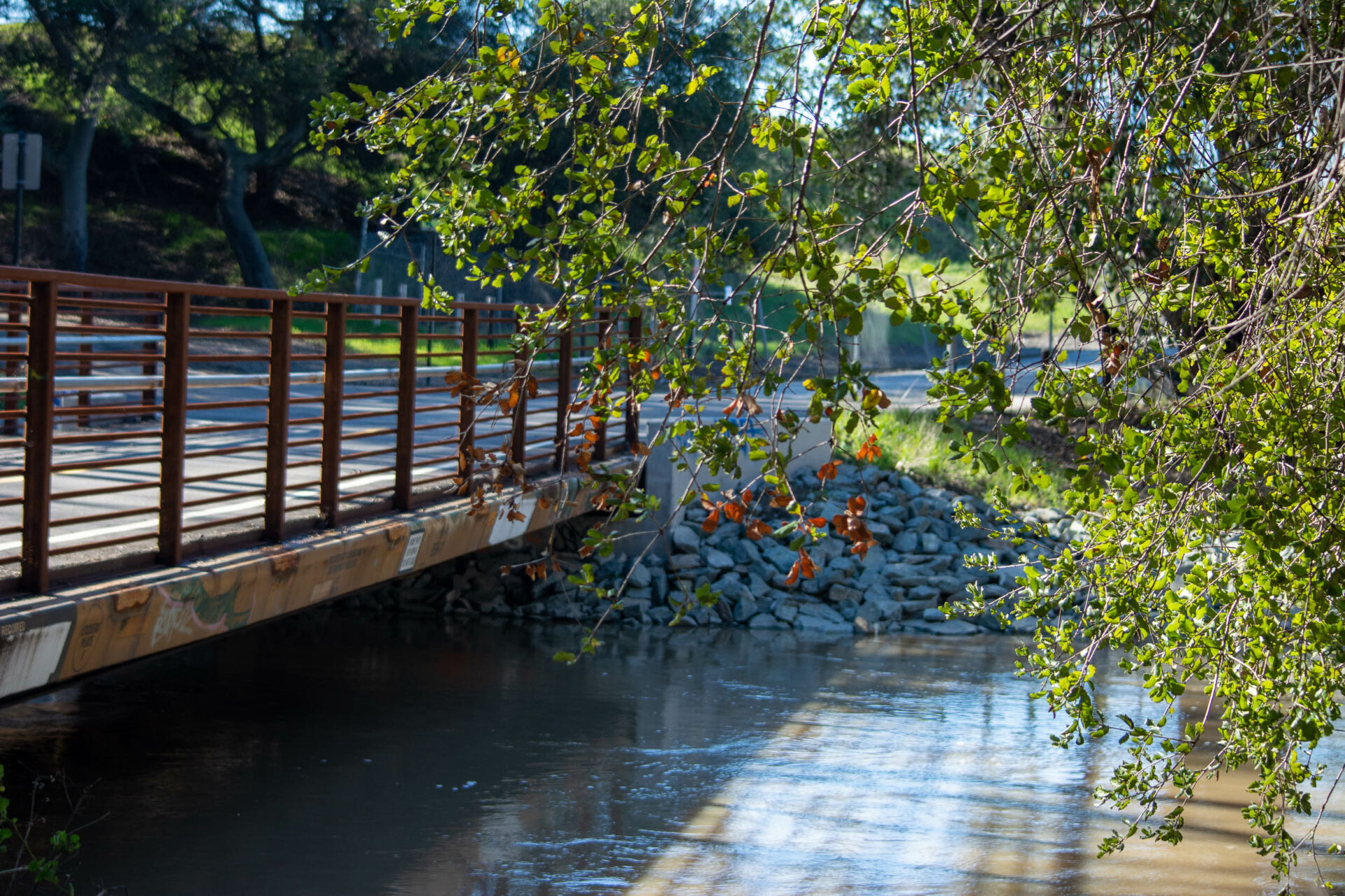
In the middle of the watershed in San Jose, Singleton Road Bridge (above) on Coyote Creek is an example of a successful “Priority Action” project to restore flow for Steelhead Trout and improve the trail connectivity along the creek. The original low-water road crossing, which only allowed creek flow through two pipes, was replaced in 2021 with this free-span bridge.
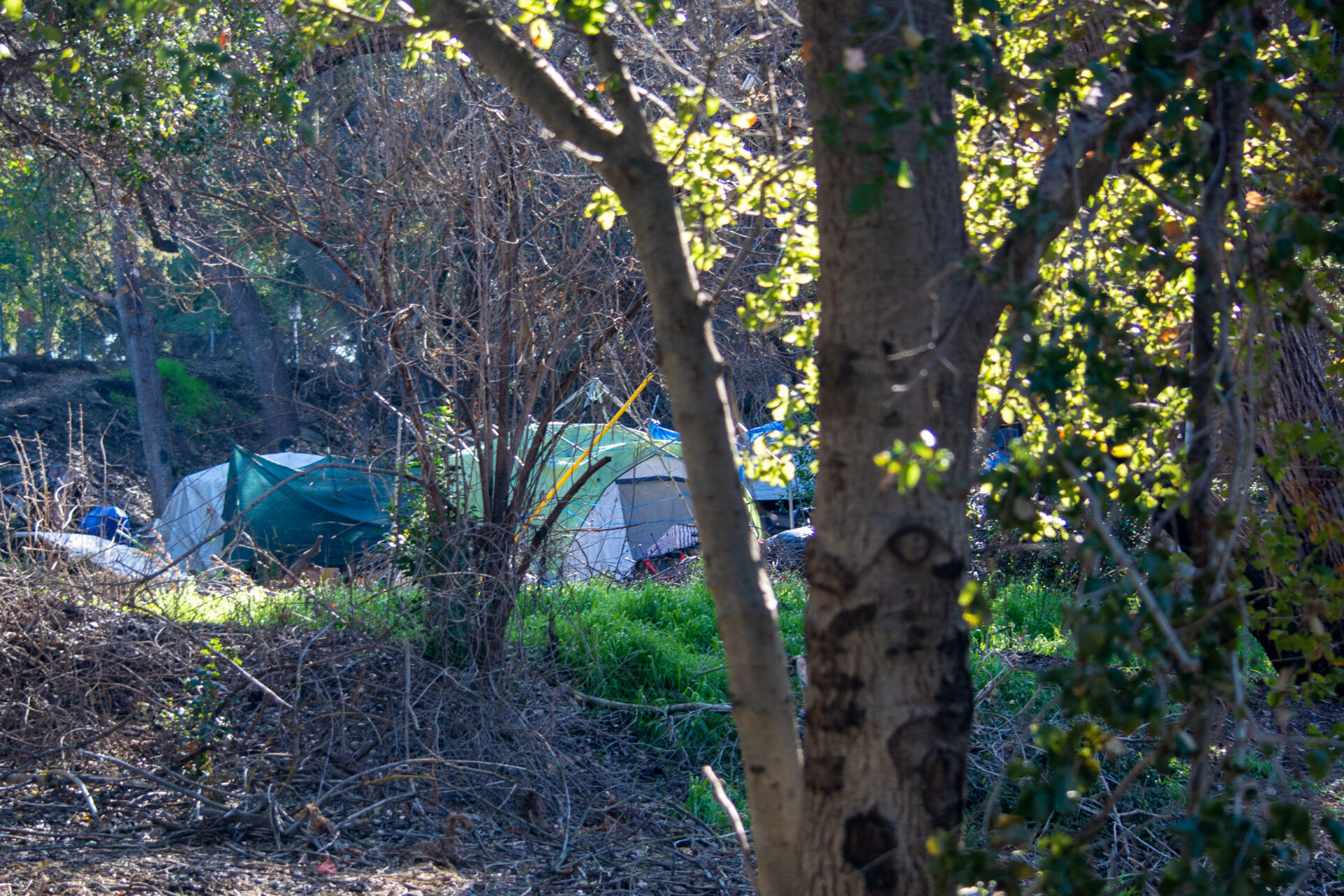
I only took one photo of the homeless encampments along Coyote Creek near Singleton Road (above). I wanted to respect the privacy of the occupants, and I visited Coyote Creek alone and felt the vulnerability of being a young woman in an isolated place. The homeless encampments reflect the current inequities and housing problems in California. But they also bring with them ecological challenges with their proximity to waterways — namely pollution (from cooking, human waste, and litter), vegetation damage, and erosion of sediment into water. I observed large amounts of trash along the path to the creek. The water quality of Coyote Creek has been concerning in urban areas like this.
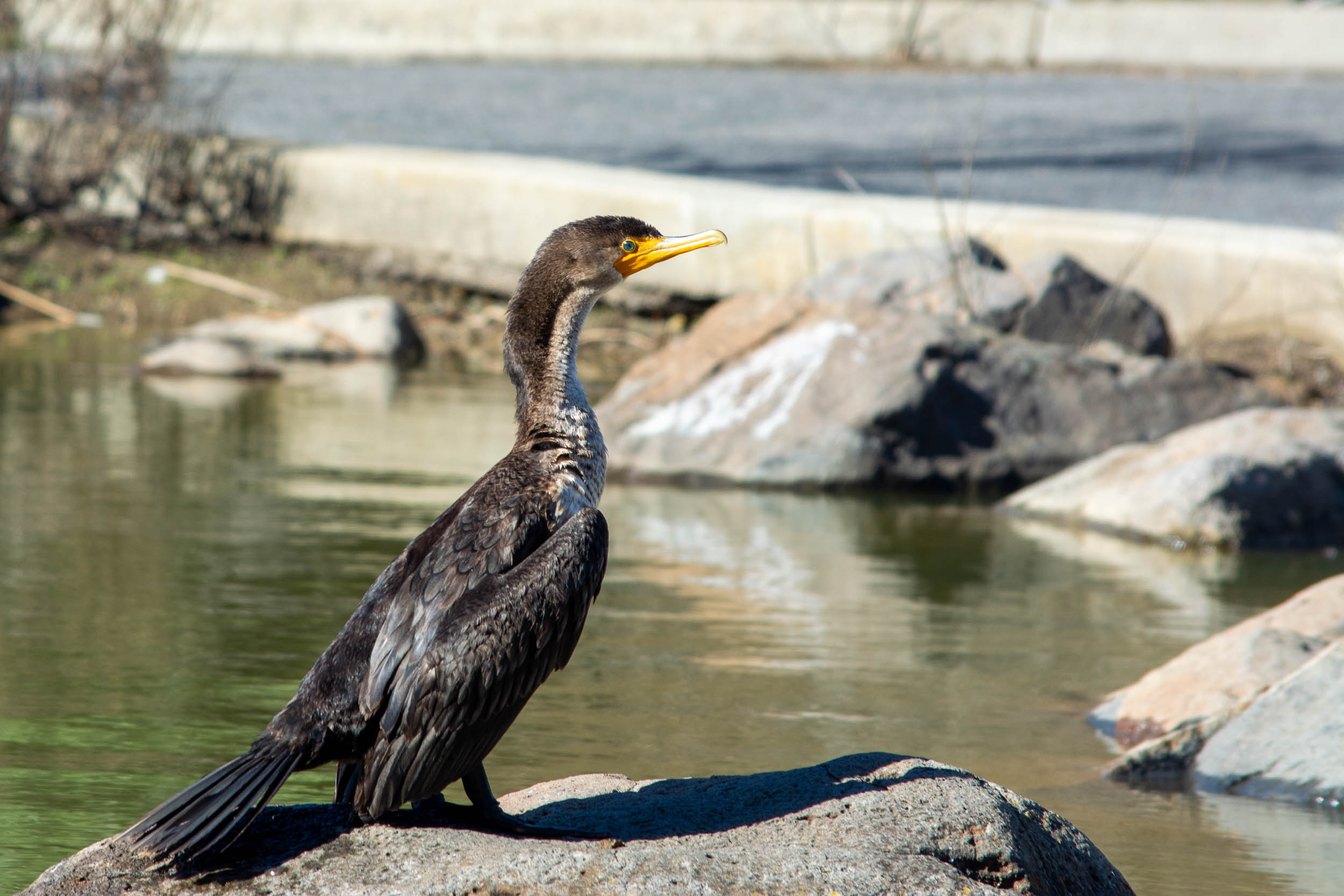
After visiting Coyote Creek, I drove the short distance to a neighboring subwatershed — the Lower Silver and Thompson Creek Subwatershed — to visit Lake Cunningham. As I walked down to the lake from the parking lot, I watched several geese grazing on the flooded grass. I stopped to take their picture and then continued to the pathway around the lake where ducks, water birds, and even a squirrel crowded the path. I knelt down to photograph, and they swarmed closer. I looked behind me and in a perfect line, the Canada Geese were marching from the grass to the lake to join. I carefully backed away, fearing the birds might become too interested in my camera.
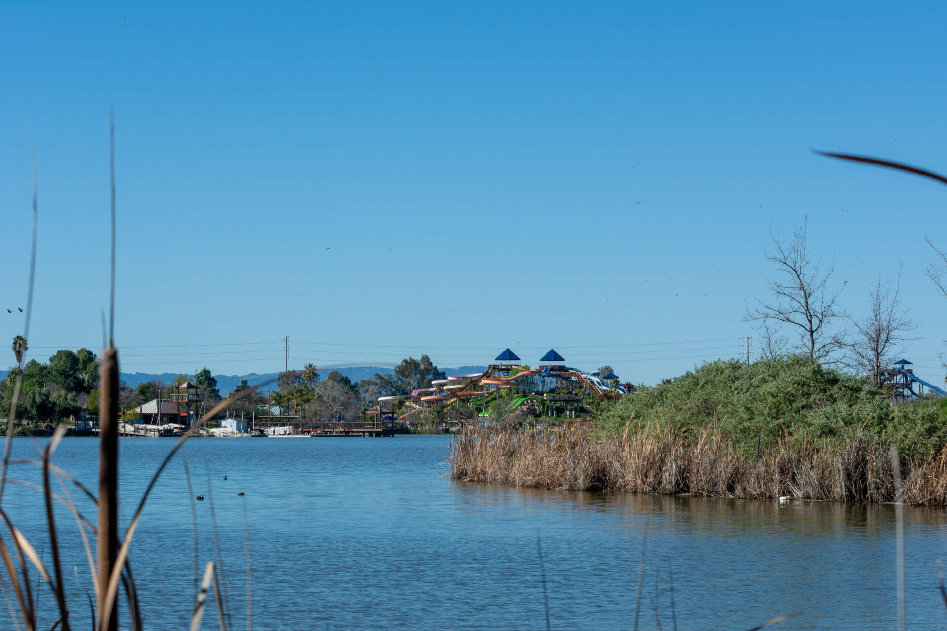
Lake Cunningham (above) is a man-made lake in San Jose. According to Valley Water, “nearly half of the Lower Silver Creek Watershed drains to the park, and then flows into Lower Silver Creek,” a tributary of Coyote Creek. In the distance, the water park Raging Waters San Jose sits on the west side of the lake.
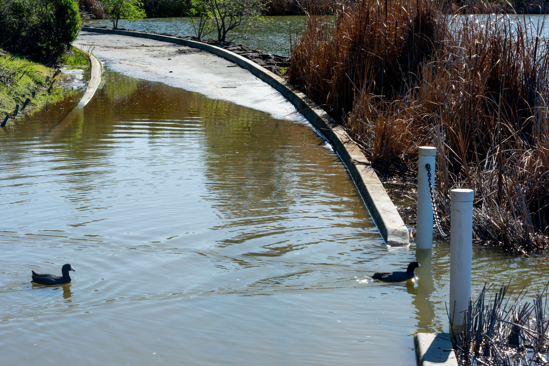
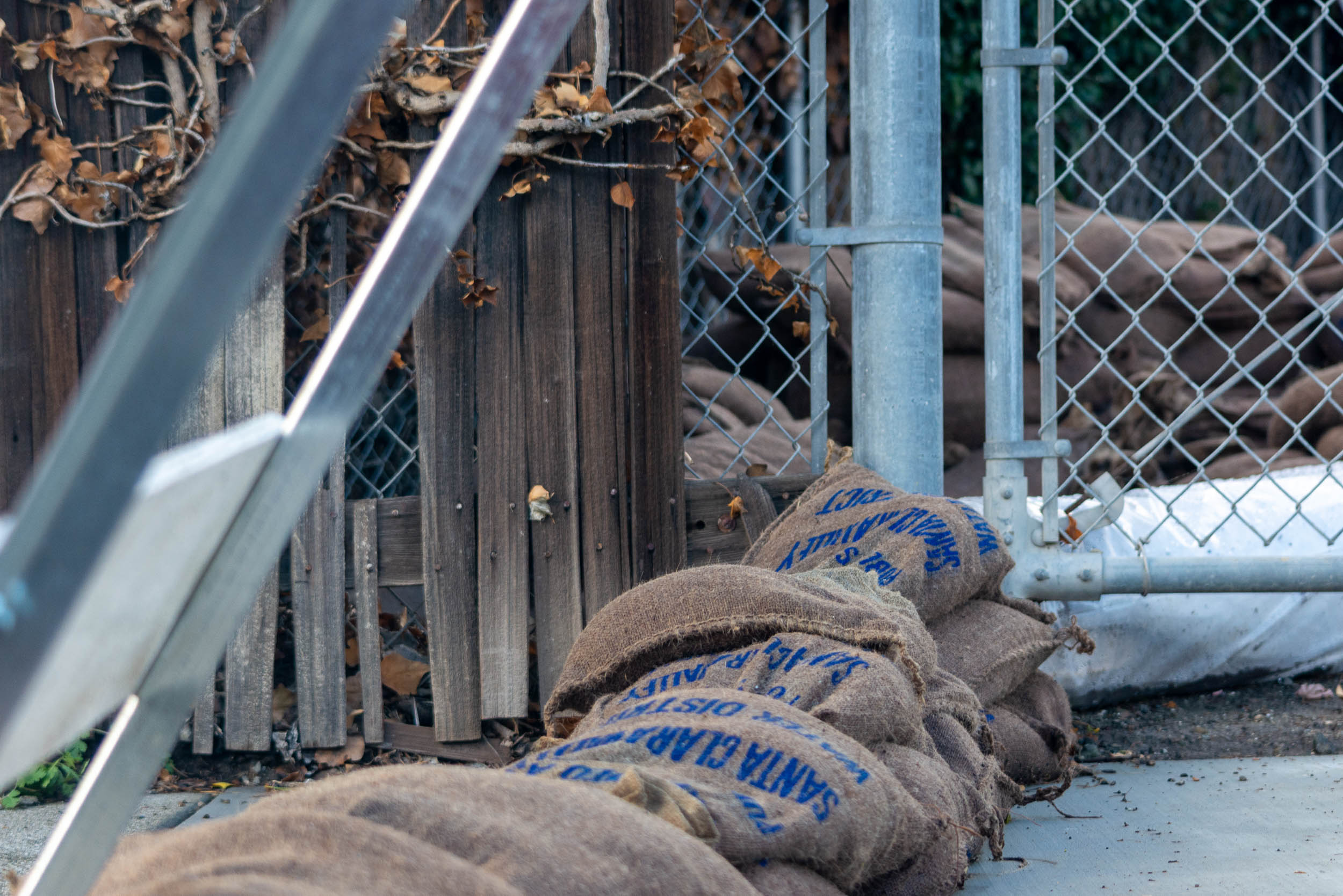
From late December 2022 to mid-January 2023, a series of storm systems brought between 5 and 19 inches of rain to the southern San Francisco Bay Area, causing Lake Cunningham to flood, flowing over the sidewalk around the lake (above). Lake Cunningham Regional Park became a flood retention center in 2019 to hold storm flows temporarily.
To the northeast of Lake Cunningham lies the Upper Penitencia Creek Subwatershed. On January 28, I visited Upper Penitencia Creek (below) with two of my close friends. We had planned to hike the Penitencia Creek Trail, but it was closed due to dangerous conditions after the heavy rains. As we walked to the trailhead to confirm its closure, we passed countless families, couples, and individuals who had similarly sought to enjoy the rare day of sunshine and see the flowing creek.
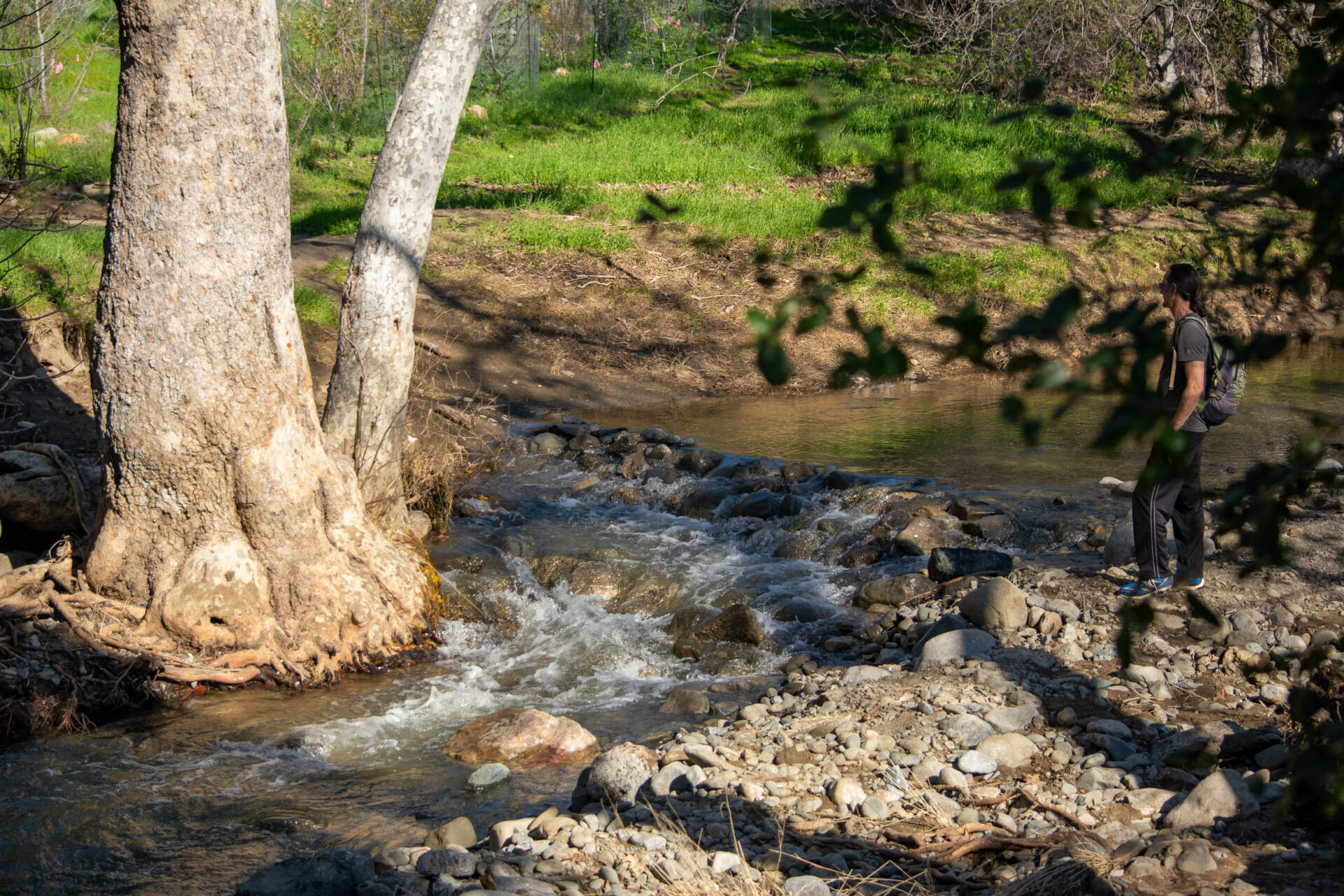
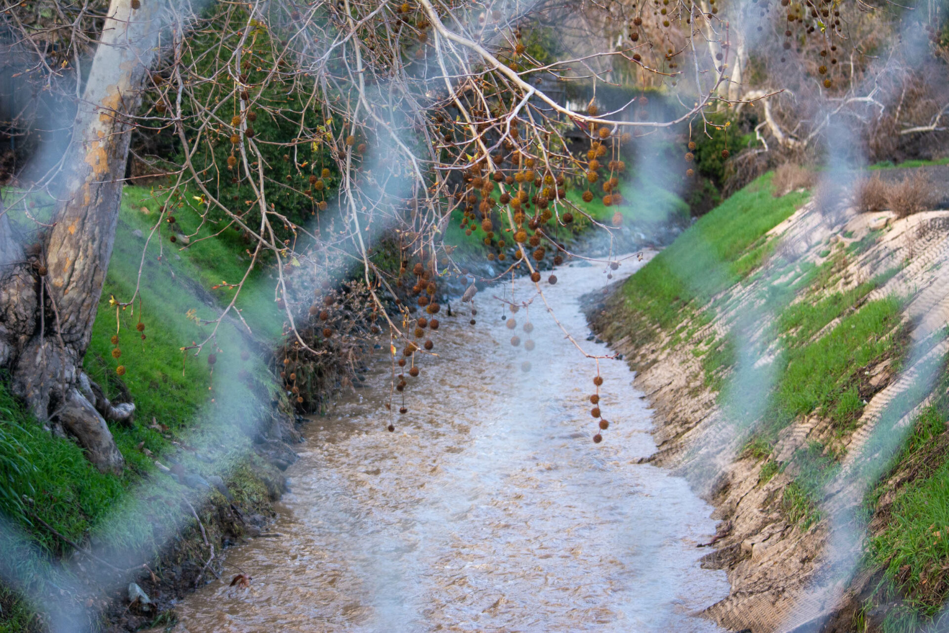
Even though the Penitencia Creek Trail was closed, the pathway alongside the creek in the other direction was still open. We walked down that path, enjoying the views of the creek (above) and the sun. One family had decided to take advantage of the creek’s many visitors and the kids had set up a table to sell bookmarks to raise money for their elementary school. After buying a homemade bookmark, I talked with their uncle who said that seeing the flowing creek was a rare sight, even as the water level had already dropped significantly since the major storm at the beginning of January. After three years of drought, the visitors were accustomed to a dry view.
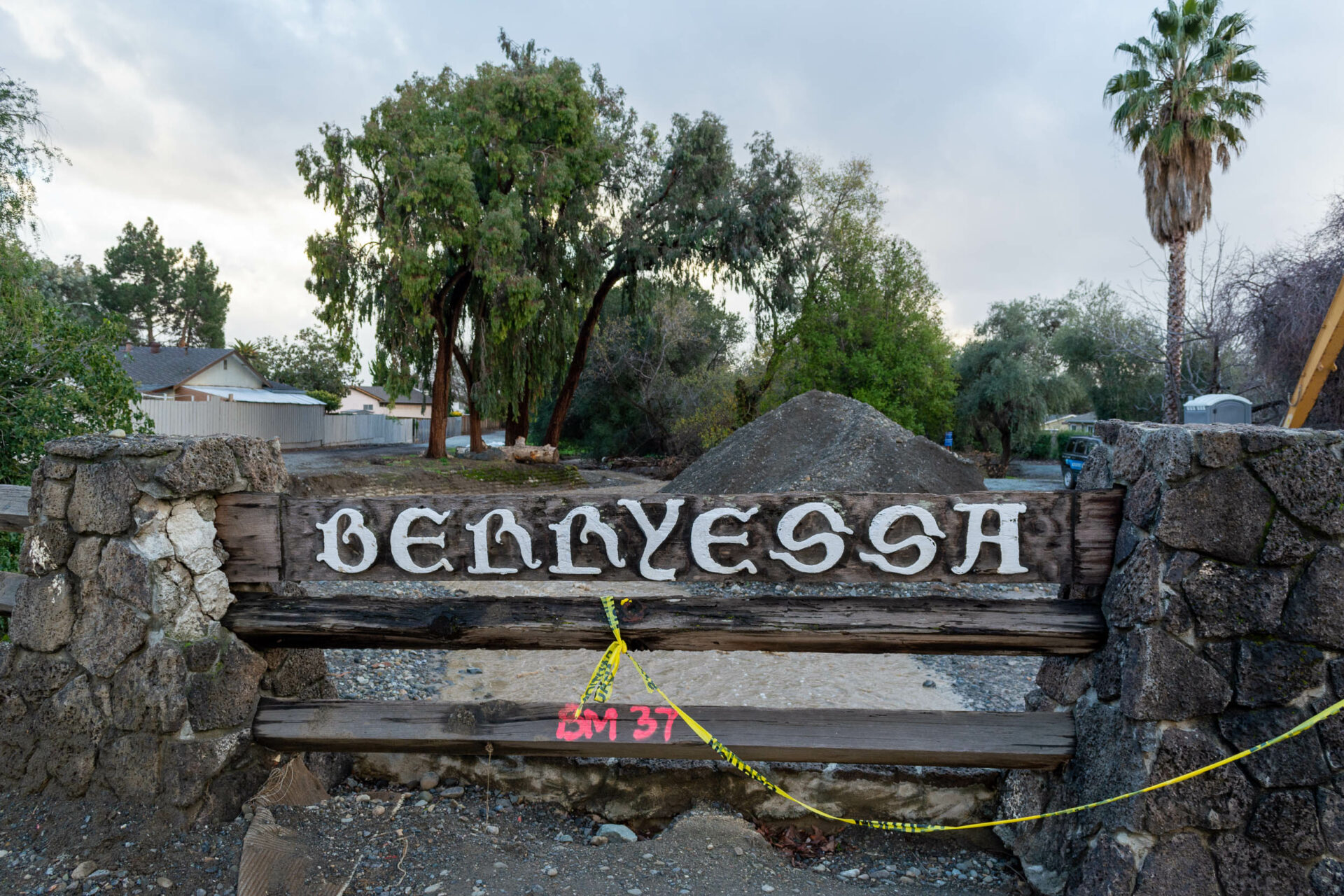
Closer to San Francisco Bay in the lower watershed is a view of Berryessa Creek (above), one of the principal waterways. My roommate and I drove out to San Jose on January 10, catching a brief break in the rain as the sun set. On one side of Cropley Ave, construction equipment was paused alongside the creek. Berryessa Creek was the site of one of Valley Water’s sediment removal projects in 2022, an attempt to improve the creek’s stormwater flow capacity and protect the surrounding communities from flooding.
Across from the intersection of Cropley Avenue and Piedmont Road, we could only see the creek through a chain link fence. A maintenance worker stopped to talk with us and explained that when he was a child, the creek’s height reached the top of the slopes seen in this picture.
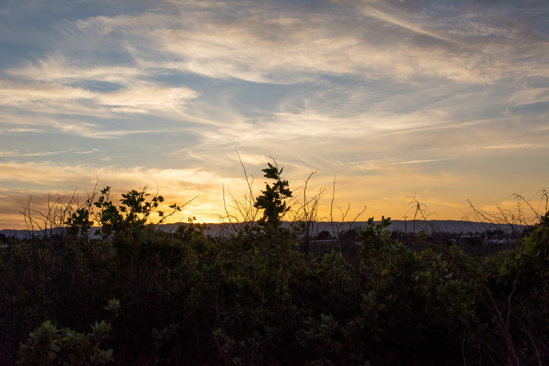
To gain a sense of the ecology and biodiversity of the baylands in general, my brother and I visited the Baylands Nature Preserve in Palo Alto (above) at sunset one day in February. The Baylands look out over the South Bay. A few miles east across the water, Coyote Creek sheds into the bay — at the bottom of the watershed.
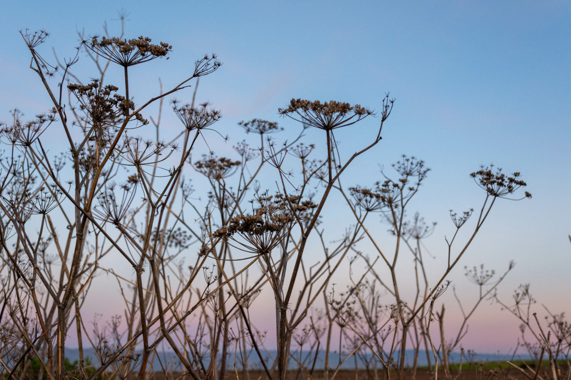
In these transition zones between creeks and the Bay, invasive species, such as fennel shown in the above photo, can pose a myriad of problems for native species as well as humans. They spread easily and rapidly, altering natural ecological conditions and sometimes increasing flooding or fire danger.
From the Diablo Mountains to South San Francisco Bay, the 1,500 miles of creeks in the Coyote Creek Watershed see a variety of human-caused problems, including pollution, erosion of sediment, obstruction of migration paths, introduction of nonnative invasive species, and extreme weather and precipitation as a result of anthropogenic climate change. I visited nine locations in the vast watershed which includes 29 major tributaries, more than 100 hydrologic drainages, three other major waterways, and countless other percolation ponds and lakes. Several successful projects have helped rehabilitate struggling areas of the watershed, and Valley Water has more projects planned and in the works. We can do our part too, whether it’s working to reduce our individual carbon footprint in the fight against climate change, encouraging support for people experiencing homelessness in Santa Clara County, reducing and properly disposing of waste, or reading more about the watershed in Valley Water’s One Water Plan. You may be surprised like I was at the sheer number of waterways that surround us, serving our communities and local habitats.


