Citizen Methane
How satellite monitoring will empower action to reduce methane.
Driving through the wintery backwoods of Pennsylvania, Curtis Shuck, founder of the Well Done Foundation, is on his way to find some very old oil wells. The property map he’s using as a reference may or may not be helpful. It’s over a hundred years old.
“When we’re out wildcatting these orphan wells,” Shuck says, “we’re literally some of the first people who’ve been there in a hundred years.” Well Done Foundation is a grassroots nonprofit helping landowners find and plug legacy wells on their property.
Methane, a potent greenhouse gas, leaks from abandoned wells across the country — at least two million of them according to one EPA estimate. And Shuck, a transportation and logistics expert with diverse oil industry experience, had the right skills to begin plugging them, well by well.
When Shuck gets to a site, the wells he is looking for could be lost in some “super gnarly terrain,” overgrown with trees or heavy brush. A well might be under a tree stump or down a steep slope. He only has a rough idea of how many wells there are and which ones might be leaking methane.
Methane is hard to trace. It travels in the air and dissipates quickly. It’s both odorless and invisible to the human eye, which is why utilities add a smell, like mercaptan, to home gas. Shuck uses rudimentary, hand-held tools, on foot.
Shuck admitted that an aerial methane detection survey might help him triage these projects by spotting super-emitters. But aerial surveys are expensive. They involve expert pilots flying sophisticated sensing equipment that combs the air looking for methane’s chemical fingerprint.
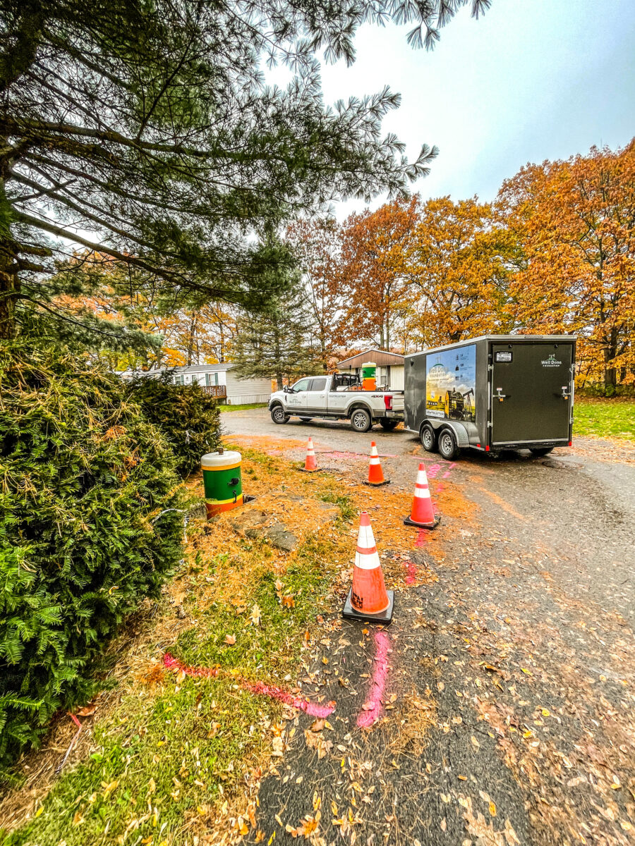
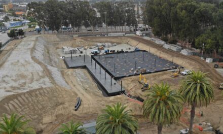
Mobile home park in Pennsylvania where Shuck’s team worked to detect a leak this spring: Photo: Well Done Foundation
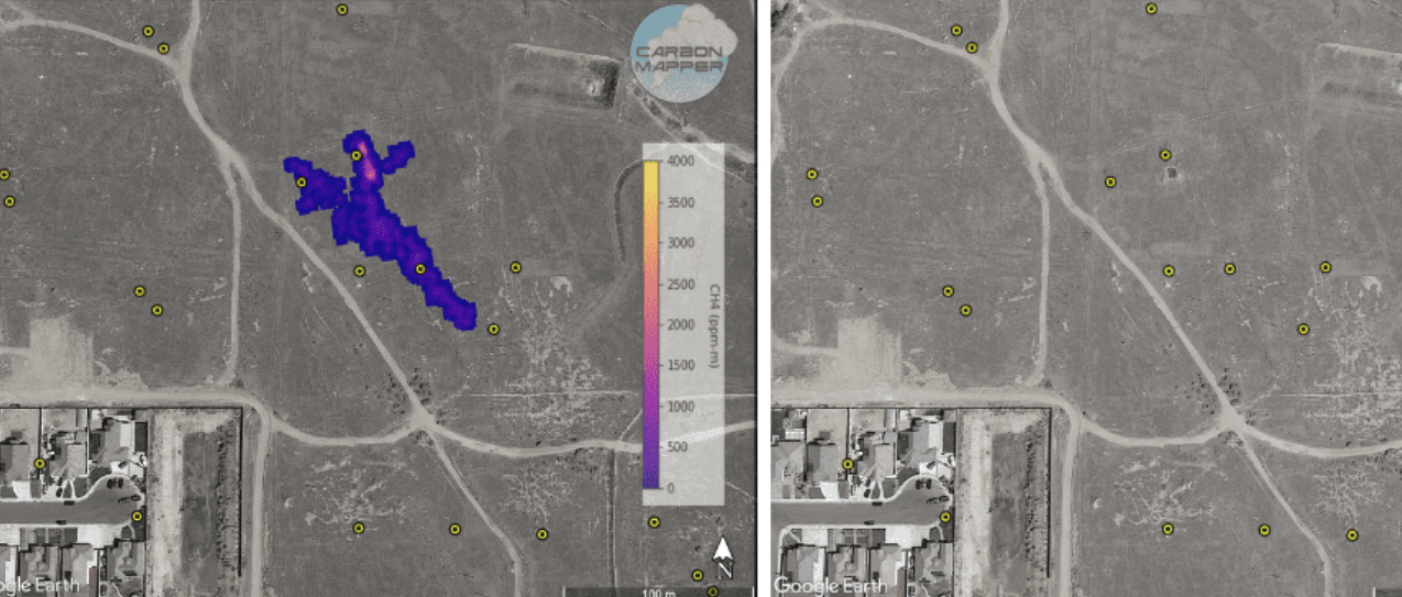
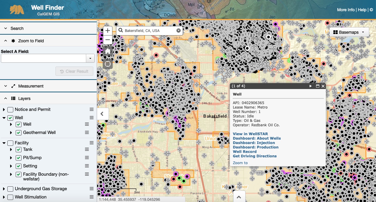
“Orphaned wells pose challenges,” Carbon Mapper CEO Riley Duren said in an email, “even for sensors flying overhead in an airplane.” Carbon Mapper has conducted surveys for the state of California with some success identifying well leaks in Bakersfield. But Duren also pointed out, “the leaks were the relatively large ones requiring urgent attention.”
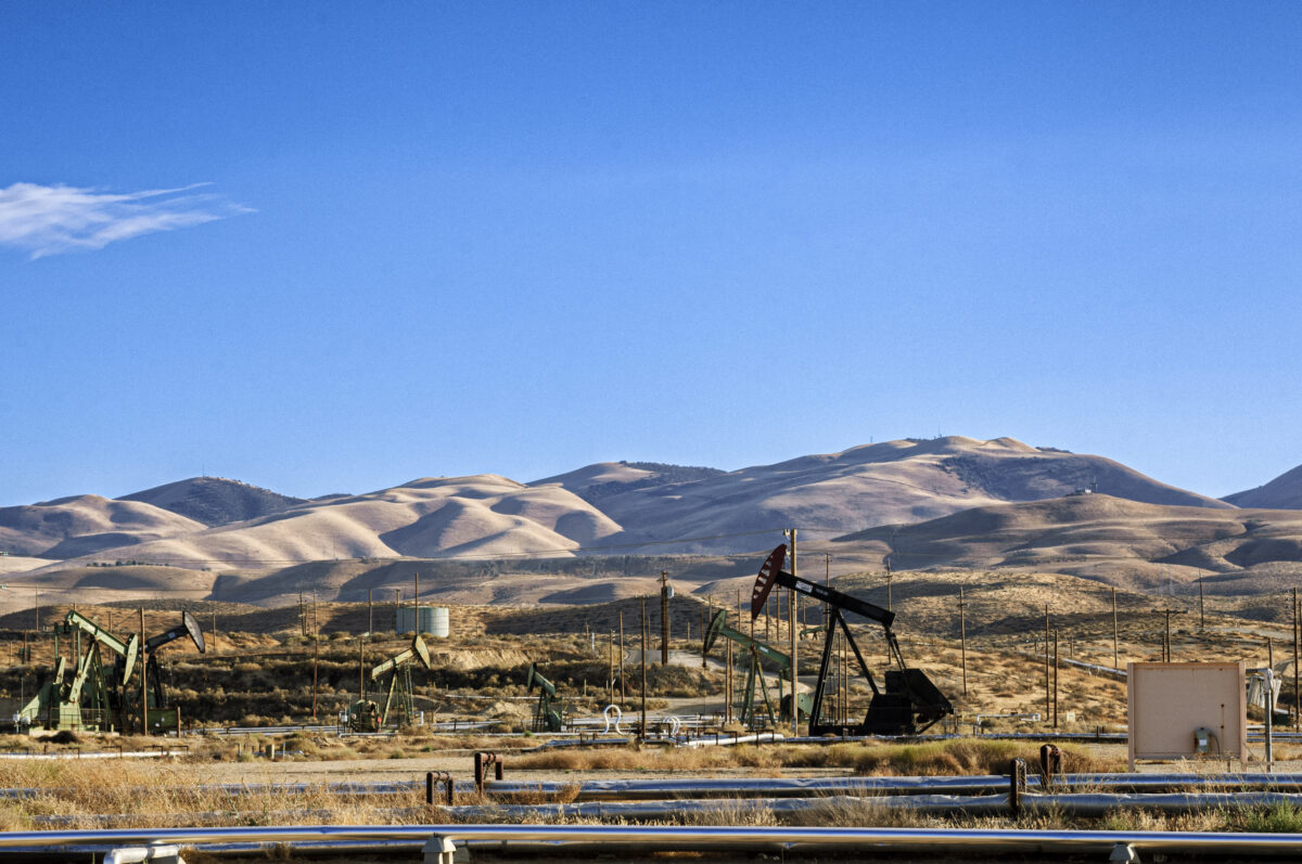
With explosive potential, it turns out. Last summer, residents of a new Bakersfield neighborhood were forced to relocate when they discovered abandoned wells near their home leaking methane and other noxious fumes. In March, Shuck is coming to Bakersfield to begin work in the orphan-well hot spot. There may be some 25,000 other abandoned wells around Kern County.
The distance between sensor and source matters — both in designing methane sensing instruments and paying for them. The farther from the source, the more calculations the instrument has to make. This has long been the challenge of methane detection from satellites. Only recent evolutions in machine learning and data science have enabled satellites to deliver clearer pictures of Earth’s methane emissions.
The hope of satellites
A US pledge to reduce atmospheric methane by 30% by 2030 has led regulators, scientists, and non-profits like the Environmental Defense Fund (EDF) to seek out the lowest hanging fruit. For that, scientists have targeted the source of almost 30% of US anthropomorphic methane emissions: the oil and gas industry. Because methane is a product in this industry, companies should have incentive to prevent it from flying away.
To encourage global action from these companies, scientists have been hoping to develop a global triage map. This is on Curtis Shuck’s wish list too. But mapping on a global scale means pulling data from large numbers of satellites with diverse capabilities in terms of sensors, scan swaths, and resolutions.
Satellite monitoring is in early stages. At the SmallSat Symposium, hosted in Mountain View this February, hundreds of commercial satellite experts highlighted the satellite challenges ahead, like the need for more automation and more intersatellite communication. Retrieving data in real time is another of the many challenges of monitoring methane emissions from space.
A satellite population heading towards 50,000 creates an insatiable craving for calculation, data science, and machine learning.
“For as much as people are focused on the hardware, the satellite, the sensor, the gee whiz piece of this,” EDF’s Mark Brownstein said in a 2021 interview, “[what’s] actually equally important is the data science.”
After years of frustration, trying to map methane emissions over the Permian Basin with aerial surveys, EDF commissioned MethaneSAT. The satellite is now being assembled for launch (according to its Twitter feed).
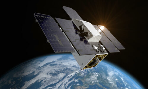
Along with EDF, California has led innovation in small satellite methane monitoring. It helps that labs at NASA Ames and Stanford are incubators for AI and small satellite development. One product of this nexus is San Francisco-based satellite giant Planet Labs, which is currently building the Tanager constellation. Tanager will support two methane-focused non-profit partners. The first is Climate Trace, an Al Gore-fronted climate action group. And the second is the Carbon Mapper Coalition, driven, in part, by the California Air Resources Board (CARB).
Rendering of Tanager satellite. Source: Planet
Like EDF, the California Air Resources Board has been frustrated for years by methane underreporting on oil and gas industry surveys. Tanager’s continuous, detailed surveillance will help CARB build the kind of granular, comprehensive emissions inventory it needs to support strong policies and enforcement.
The Climate Trace map demonstrates how regulators will close the loop between observing emissions and fixing them. It draws from “59 trillion bytes of data from more than 300 satellites, more than 11,100 sensors.” And it integrates satellite observation with a database of 80,000 industry assets, so it can identify high-emitters and even rank them.
Open Source Empowerment
Though there’s much work ahead, it’s leading to a time when individuals will bear witness to super-emitters from our proverbial armchairs. Governments and non-profits are going out of their way to provide intuitive online tools and accessible formats, such as heat maps. Carbon Mapper Coalition, MethaneSAT, and Climate Trace all offer their current methane data on intuitive maps.
And the team working with the EU’s TROPOMI instrument, aboard the Sentinel-5 satellite, is publishing weekly maps, interactive news updates of the latest large methane emissions.
“We are also making big steps in automated analysis with respect to methane super emitters,” says Dr. Ilse Aben, senior scientist responsible for incoming TROPOMI data. “[This] will allow us to get more out of the data.”
The EU will pool open source data from the likes of TROPOMI, MethaneSAT, Climate Trace, and CarbonMapper in a central repository, the International Methane Emissions Observatory (IMEO). The anticipated power of this database has enabled the EU to launch an ambitious regulatory framework — the Methane Alert and Response System (MARS). EU regulators brought the oil and gas industry into talks early on to help determine a realistic detection-to-response process. It’s a framework designed to apply competitive, corporate peer pressure to large emitters.
Regulators are touting the portal as “the first publicly available global system capable of transparently connecting methane detection to notification processes.” From New York to Brussels these regulators stress the importance of transparency and public awareness. But no one has quite envisioned what individuals might do with all this awareness.
Interestingly, the MARS response system inserts a 45–75-day delay between detecting the problem and making the data public. Ostensibly, within that time frame, egregious emitters are notified and take “appropriate action.” The MARS process even offers emitters “technical or advisory services” upon request. In effect, it’s a carrot-and-stick approach — and presumably, the public is the stick.
Where the European data-to-response framework refers to a regulatory ideal, California’s Planet Labs co-founder Robbie Schingler uses the same language referring to a technological ideal. In a late-2021 Congressional hearing, Schingler predicted a “data-to-response system” of satellites that would be well-automated and have decision-making capabilities (AI).
”If there is a methane leak, which is really toxic for public health,” Schingler said at the hearing, referring to Carbon Mapper as an example, “it could be detected on board [the satellite] and immediately inform the first responder.”
He went so far as to say that automated satellite data systems would be able to fix the problems they detect directly through the Internet-of-Things (IoT).
Schingler’s future seems to sidestep the human factor altogether. And perhaps we, as individuals, would rather have programmed satellites 500 miles above our heads act as the methane patrol. Methane emissions may not inspire a social media phenomenon of crowdsourced sleuths tracking GHG perpetrators.
But understanding what the satellite data reveals warrants a rethink of individual agency. A more informed oil and gas investor or consumer can have an impact. They can be more open-eyed in vetting agendas, marketing, and even the parade of apps for “climate activism.” The impartial satellite eye might offer a shield against greenwashing, political pushback, disinformation, all of which will only increase as more stakeholders feel the squeeze of regulation and markets.
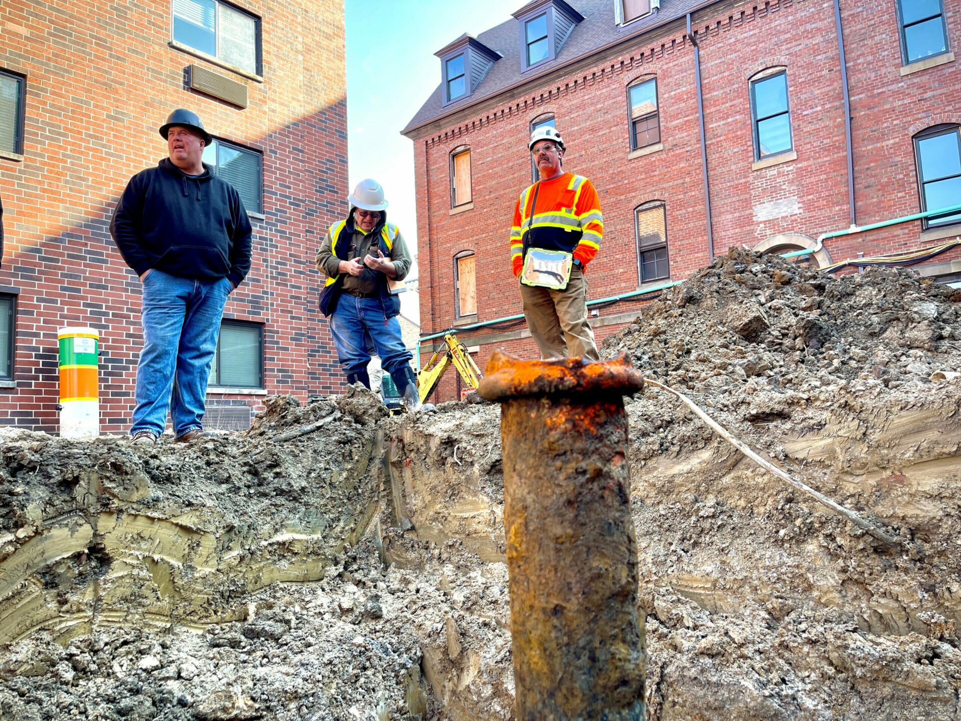
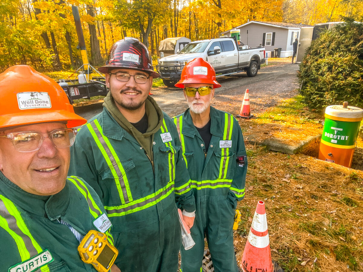
Shuck (left) with his team and “Dorothy, ” a monitoring device including a chamber to trap emissions until the well is plugged. Photo: Well Done Foundation
The many roads to methane mitigation
For Curtis Shuck, a map of his work site with each orphaned well marked in the order of urgency is a long time away.
“Research studies show that most leaking orphaned and idle wells tend to emit methane at rates as low as several grams per hour,” Duren says, “far below the detection limits of most remote sensing systems, which tend to start in the kilograms per hour range.”
Detecting those small emissions probably won’t come before solutions to some of the other complex methane challenges — landfills, animal farming, coal mines.
Still, Shuck is a testament to individual action and the steady pace of determination. With 700 plugged wells behind him and two million abandoned wells ahead, he will likely be facing the gnarly terrain with hand-held detectors for a long time to come.


