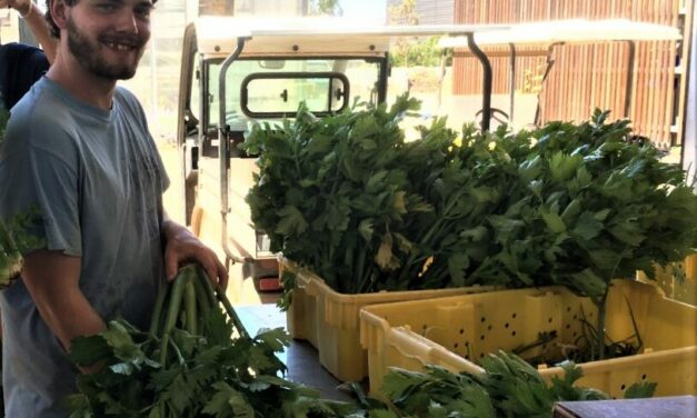
Recycling Lightly-Used Water
Lillian Bui, San Jose
Read More
City & County Initiatives

Bay Area Regional Initiatives

Resilience Hub

Special Series: Extremes in 3D
Lillian Bui, San Jose
Read More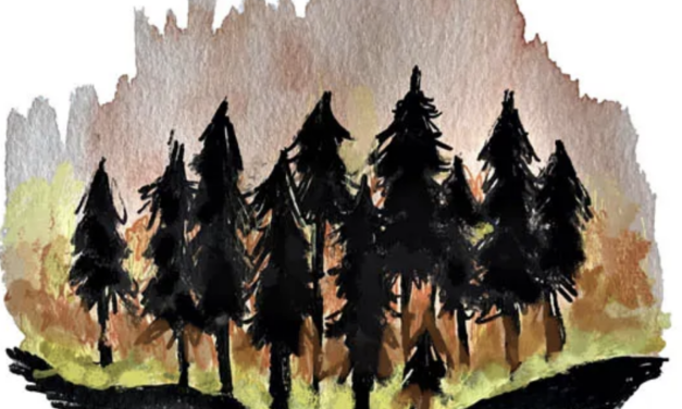
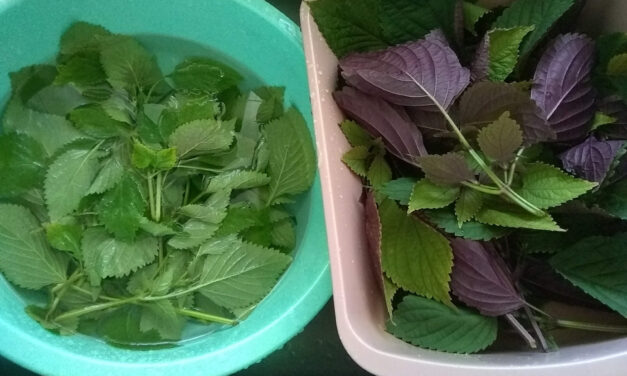
Vrinda Manglik, Berkeley
Read More
Brittany Zendejas,
Los Angeles
Audrey Yingwei Xu, San Francisco
Read More